Please note: these maps are dated 0000 GMT. For those of us in the U.S. that means you are looking at T + 3 forecast.
Sea Level Pressure and 1000-500mb Thickness
500mb Geopotential Heights, Height Change and Vorticity

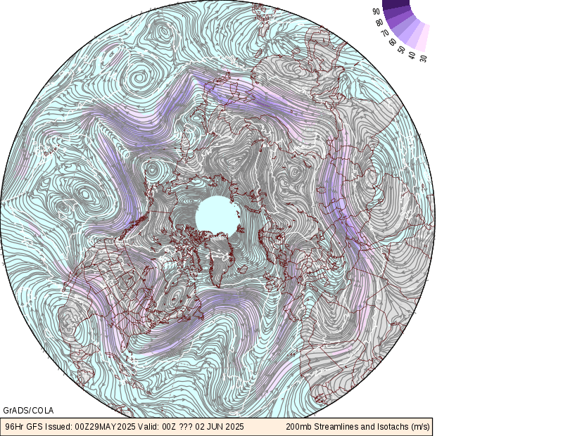
200mb Winds
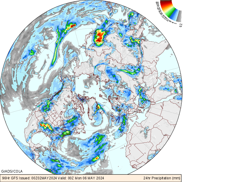
Vertical Velocity and Precipitation